Since not all the lands are equal, we offer a detailed and personalized study for each project.
We have the latest technology to ensure the necessary accuracy and reliability in each work by reducing the time and cost to increase the productivity.
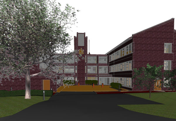
We offer detailed reports and plans in PDF, DWG and DFX format.
What do we offer?
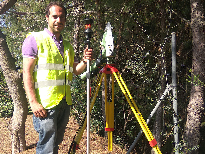
Topographic surveys
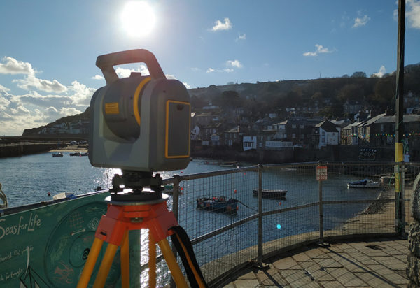
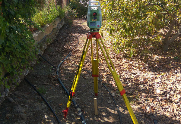
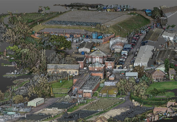
All sort of detailed surveys, both urban and rustic, mixing GPS techniques, total station, drones and laser scanner to get the accuracy and satisfaction that each project requires.
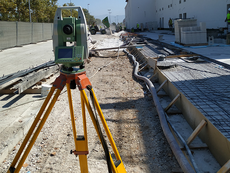
Setting out and technical assistance in works
We give support from the initial survey, fitting and earth movements to the setting out of structures, foundations, pillars, roads, pipes,…
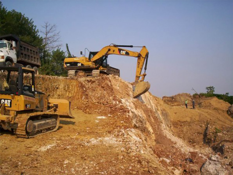
Earth movements
MDT Creation, volume calculations, cuts and fills.
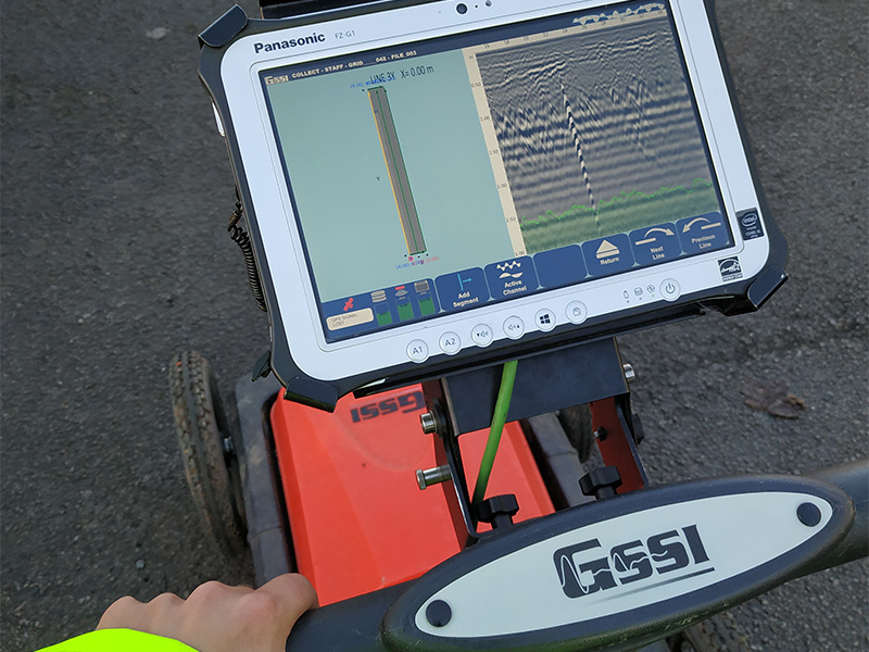
Location and georeferencing of underground services
We locate water pipes, electricity, gas, etc under the floor using the latest technology in electro- magnetic location (EML) and ground penetrating radar (GPR).