In Ingeo3D we understand the importance that the cadastre has nowadays in the territorial planning. At the same time, we understand the difficulties for the citizens when they see that the reality does not match with the cadastre.
Therefore, we want to help and advise you in all the related issues that you could have with the cadastre and property, so you do not have to worry for anything.
What do we offer?
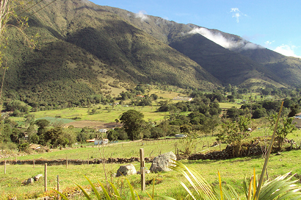
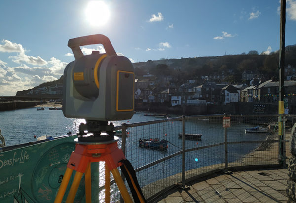
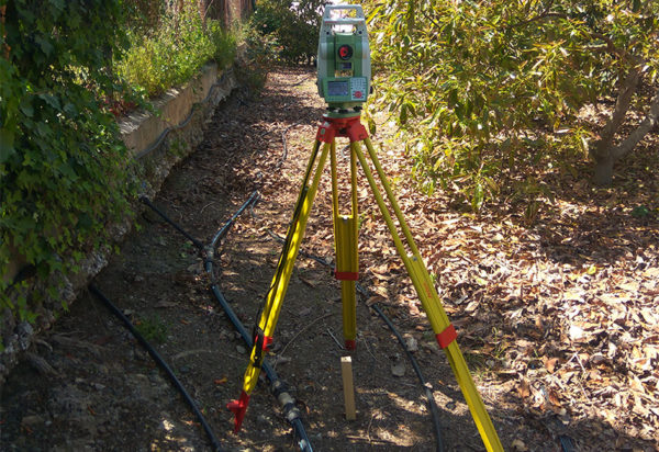
Plot’s measurements and georeferencing for the cadastre
We measure the rustic and urban properties, and we get perfectly georeferenced data for its use in any cadastre procedure.
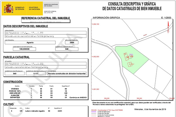
Reports of discrepancies with the cadastre
We make reports to resolve discrepancies with the cadastre. We advise you in every step.
All the reports with its pertinent plans are validated by the Colegio Oficial de Topografía (Official Topographic School).
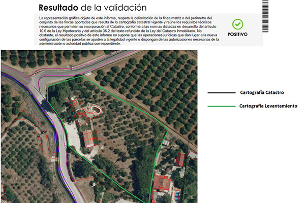
Alternative graphic validation, GML
We make and process the alternative graphic validation to solve any discrepancy with the cadastre, providing and creating the GML of a cadastral plot.
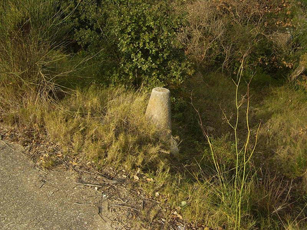
Delineation and demarcation
We delineate cadastral parcels, including its demarcation.
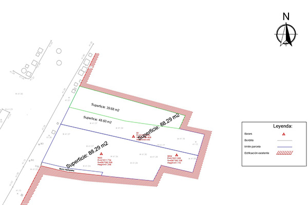
Urban re-parcellation
We measure and create report for the segregation and grouping of urban parcels.