Project Description
Measurement of the rustic plot for the rectification of discrepancies with the cadastre.
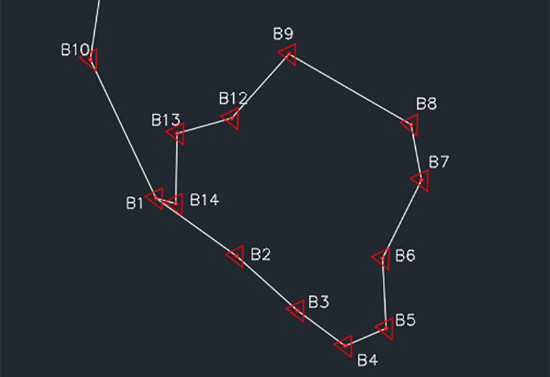
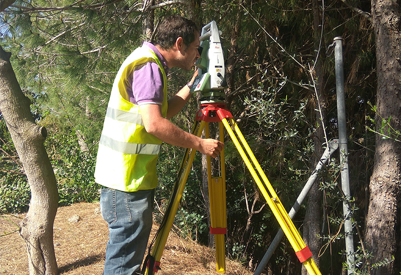
In this work, a topographic survey of the plot’s boundaries was made, as indicated by the client. This survey was made with total station on the basis of GPS coordinates since the terrain and the vegetation hampered the work. In more devoid of vegetation plots, only GPS technique can be used, which means a time and cost saving.
In the same way and as both parties agreed, a friendly delineating act was drafted between the neighbours to show the mistake made by the cadastre.
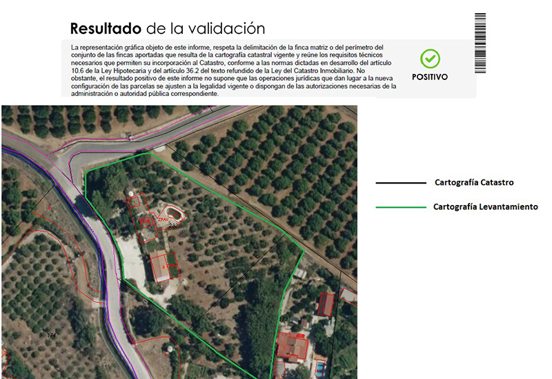
Once we got the plot’s plan, we can make an Alternative Graphic Validation using the created GML.
Thus, we get a full report with all the information of the plot, explanations, used techniques, plans, cadastre validation,… All our works are endorsed and checked by Colegio Oficial de Ingeniería Geomática y Topografía (Official Geomatics and Topographic Engineering School).
If any discrepancy with the cadastre exists, if you want to segregate a plot, restrict the boundaries and anything that involves a topographic work for the cadastre and property, do not hesitate to contact us. We have a wide experience in these fields and we are here to help you.