Who are we?
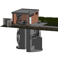
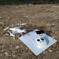
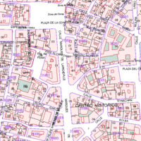
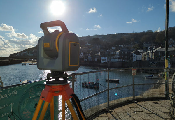
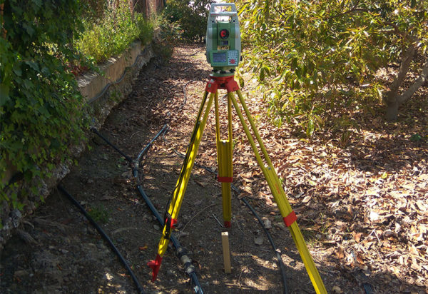
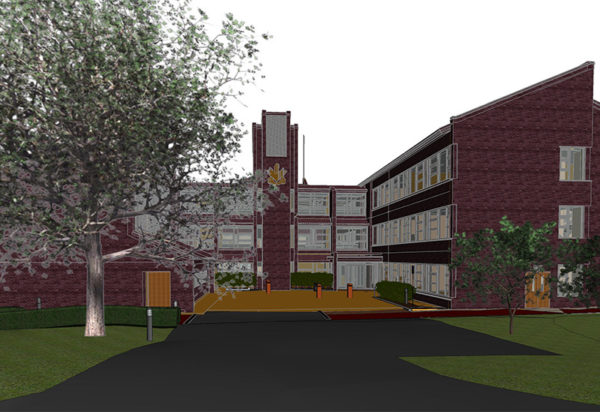
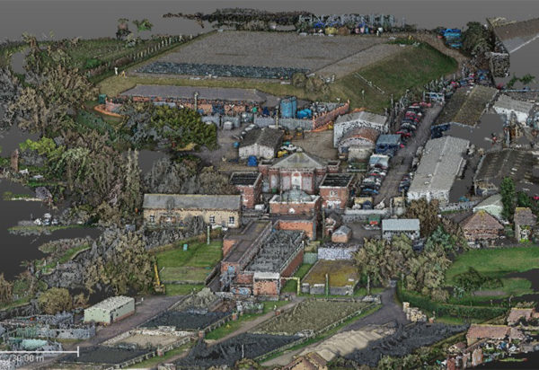
Ingeo3D is a young company, consisting of highly qualified staff, where we work with high accuracy implements to satisfy our client ́s requests with the required precision and comfort for each work. Company engaged in topography; we have expanded our outlooks to the new technologies, incorporating data capture with 3D laser scanner and drones as well as making 3D models.
Why choosing Ingeo3D?
Because our main objective is getting quality results, creating, in this way, a complete comfort and satisfaction amongst our clients. Our staff is highly qualified and trained and it has years of experience and services in this career, obtaining always the best results. Our area of work, although we are set in Málaga, comprises all national and international territory, where our staff has experience in projects in England.
Contact Form
What can we do for you?
Our Services
Topography
Topographic Surveys.
Setting out and technical assistance in constructions site.
Earth movements.
Location and geo-reference of underground services.
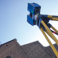
Laser Scanner
Data collection.
Registration of point clouds.
MDT and plans generation.
Generation of plans.
Fault and architectural heritage analysis.