Project Description
Topographic survey, Laser scanner and 3D BIM modelling
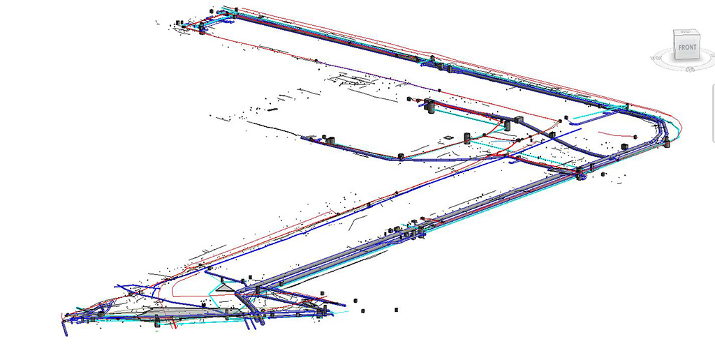
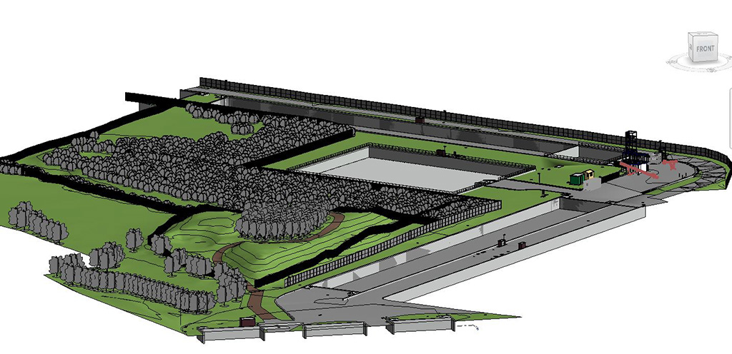
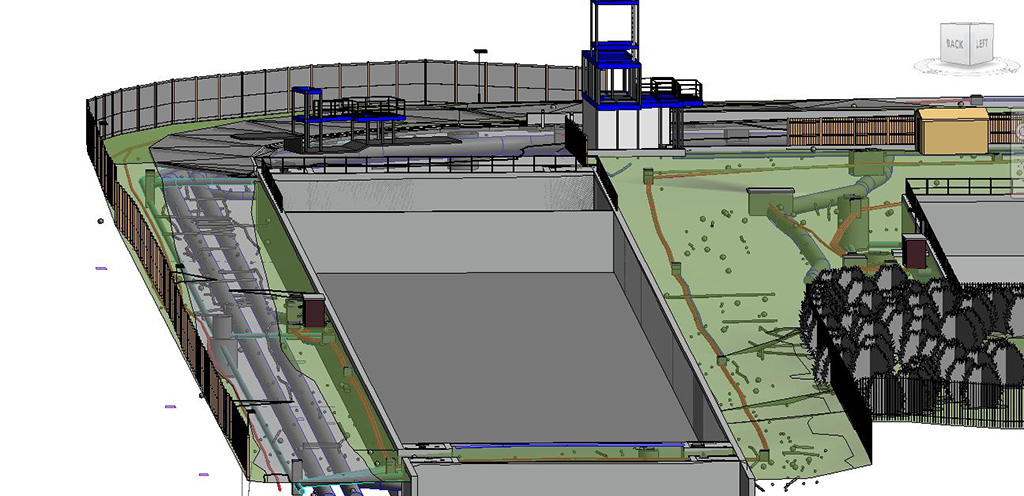
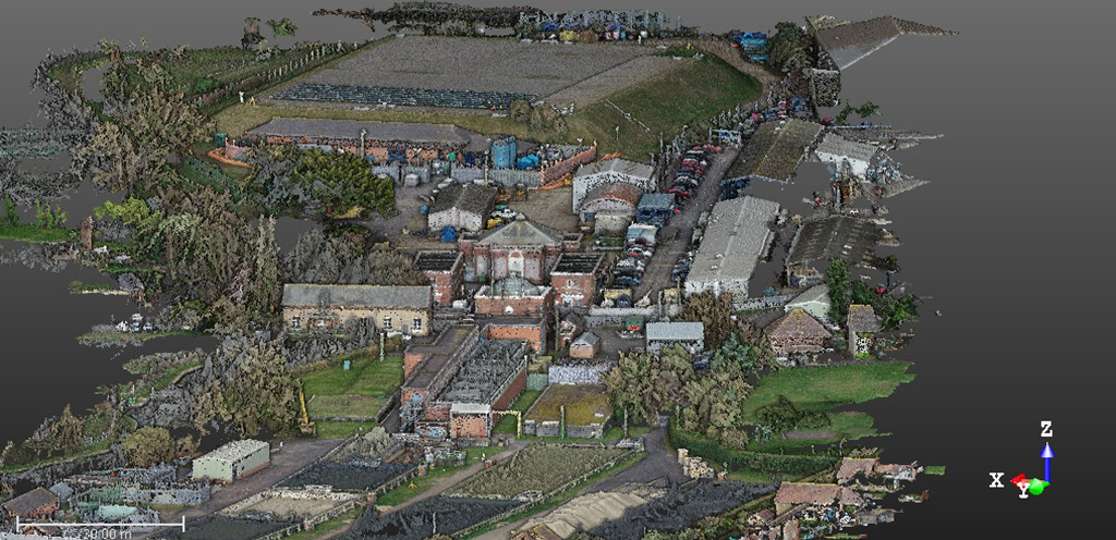
Work carried out in a sewage water treatment plant in the city of Bournemouth in England. This work has combined the classic topographic techniques and technologies with GPS and total station, the use of laser scanner to generate point clouds, the use of drone to generate point clouds through photogrammetry, the use of electro-magnetic location (EML) and ground penetrating radar (GPR) to locate the underground services, and the generation of a 3D BIM model of the zone, both in the surface and under it with Revit.
In these kind of works we can observe the importance of choosing the right methodology and how, using it properly, all the current techniques in topography can be combined.
In ingeo3D we are specialists in geomatics, in all its fields. Do not hesitate to contact us for any query.