Project Description
Topographic survey, Laser Scanner and 3D BIM modelling
In this occasion, our client proposed us a work that was going to be a big, nice challenge: combining the most and best used 3 techniques in ingeo3D: Classic topography, massive data acquisition with laser scanner and creation of 3D BIM models.
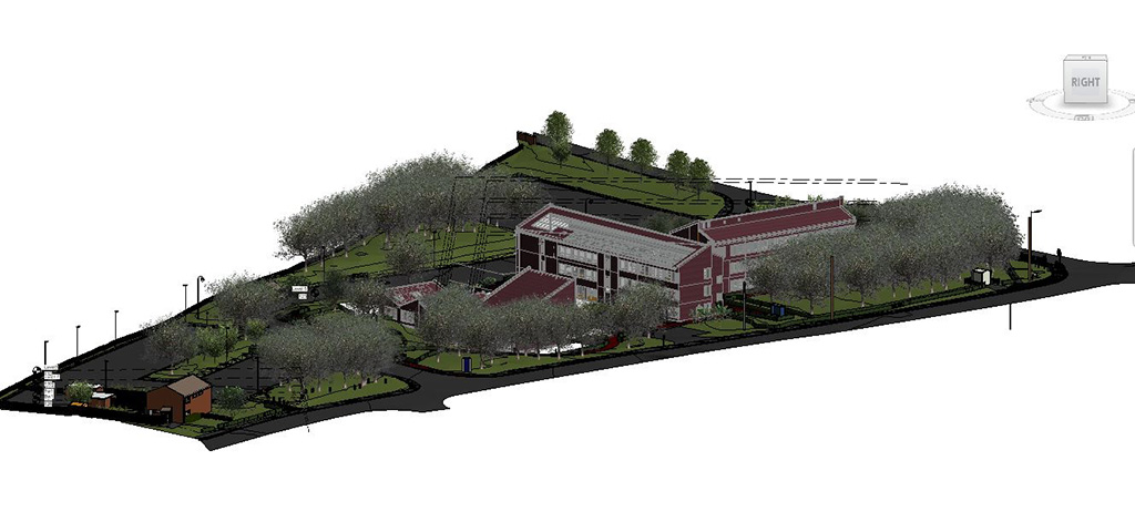
The study area was a large office building belonging to the Staffordshite County Council and different companies, as well as its surroundings with streets, parking, landscaped gardens, unevenness’s,…
It was started by making a topographic survey of the area around the building; this would be used to make the pertinent plans, generate the digital model of the land, and georeferenced the zone.
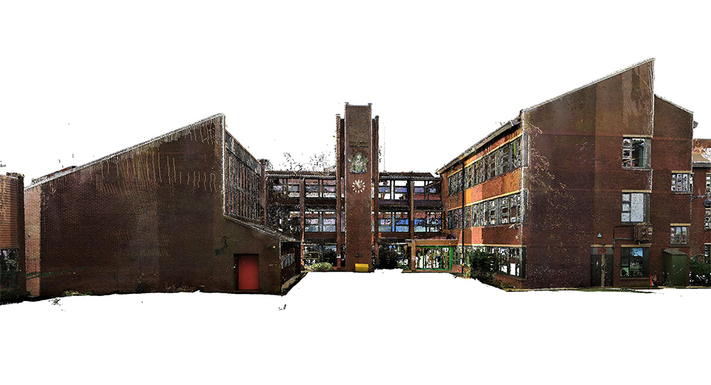
The next step was the scanning of the building, inside and outside. More than 400 scanner shots were made on an average of 4 o 5 minutes per shot, which makes this technique a great solution for this kind of work for its accuracy, and especially, for its speed in data acquisition.
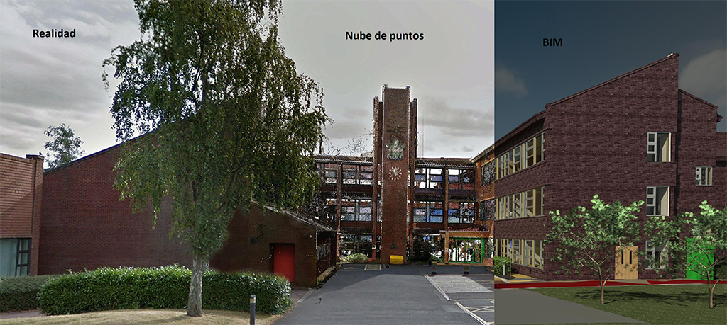
Once we got all this data, we created a georeferenced point cloud with which we could create our 3d model known as ‘Scan to BIM’.
Working with the point cloud in Revit and with the topographic, we could get a 3D BIM model of the surrounding and building.