Project Description
Topographic survey of the urban area of Mausehole, Cornwall, England.
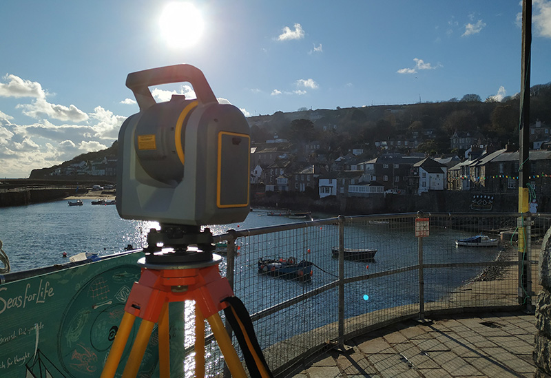
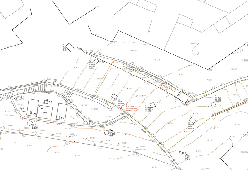
In this project, a topographic survey of an urban area in a city of England was carried out. For this, we proceeded to execute a Polygon, on the basis of GPS coordinates, surrounding the working area using a Trimble Total Station SX10. In the same way, we made a data acquisition with total station to get a detailed survey of high accuracy of all the working zone.
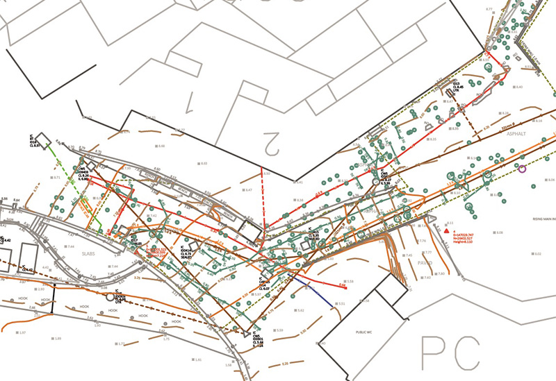
In this occasion, our client asked for a topographic plan with its altimetry, but at the same time it needed to have outlined all the underground services. Thus, it was made a location of all these services through electro-magnetic location (EML) and ground penetrating radar (GPR). Once they were located, the data was collected with GPS or Total Station.